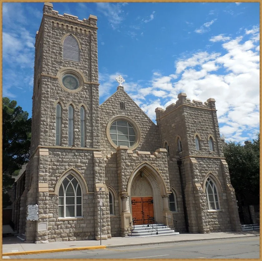
The Church of St. Clement was founded in 1870 and used an adobe building for worship until, in 1907, the present-day stone building was erected. It is an Anglican church found on N. Campbell street just north of downtown at the intersection of Montana Avenue.
The quarry used for the church building stone is a mystery for now, but there is really only one good candidate which is just below Scenic Drive and above Murchison Dr. The quarry is shown below:
We suspect this was the quarry because at that time (earliest 1900’s) the area was undeveloped and Rous’s gravel quarry was just to the southwest. We also suspect this quarry because it is the only quarry within the Upham Dolostone, of which St. Clement’s was constructed.
Below is a photo of the dedication plaque at the entrance of St. Clement’s church. Notice the grey spotted rocks on either side.
This rock is a sedimentary rock and was deposited all across North America about 450 million years ago, when the oceans covered almost all of North America. This layer of dolostone has been traced all the way to Nova Scotia!
The Upham dolostone records the history of a shallow ocean environment. There are several pieces of evidence for this. First is the dolostone. This rock type forms in shallow oceans.
Next, there are fossil shrimp burrows called Thalassanoides. These burrows appear as dark spots on the rock in all photos.
The best piece of evidence for a shallow ocean environment are the body fossils.. these are shown below. First is a rugose coral, also known as “horn coral”, found in the walls of the church.
Next is an image of the largest snail to ever exist, in the entire fossil record. It is called Maclurina. These can also be seen on Scenic Drive if you are walking on a Sunday morning (only).
Another largest-of-its-kind that can be seen in these stone walls is the world’s largest single celled organism, ever. It is called Reciptaculites and was basically an algae. The following two photos show this organism, first in a top view and then in a cross-section.
The final photo shows another coral, Halysites, the chain corals. This coral is not solitary like the horn coral shown above, but is colonial living in groups. These are some of the largest coral communities ever in the world. Sometimes they are called “brain corals.”
It is not strange to study fossils in building stone. For example, some trace fossils (echinoid burrows) were only identified because of rock walls in a shopping mall. We are lucky to be able to find such beautiful, one-of-a-kind fossils at St. Clement’s church. Stop by and check out the fossils! - Dr. Eric Kappus


