A “must” place to visit in the Franklins is Confusion Hill along on the eastside (northeast El Paso) of Transmountain Road not far from the Museum of Archaeology. (MAP) Be careful and watchful of the traffic. You can also stop at the picnic area on the east side of the road.
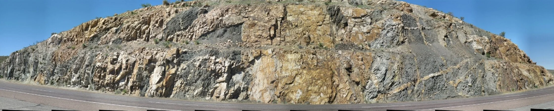
Gigapan image by Jose Hurtado (UTEP) looking north at Confusion Hill from the Transmountain Road east picnic area.
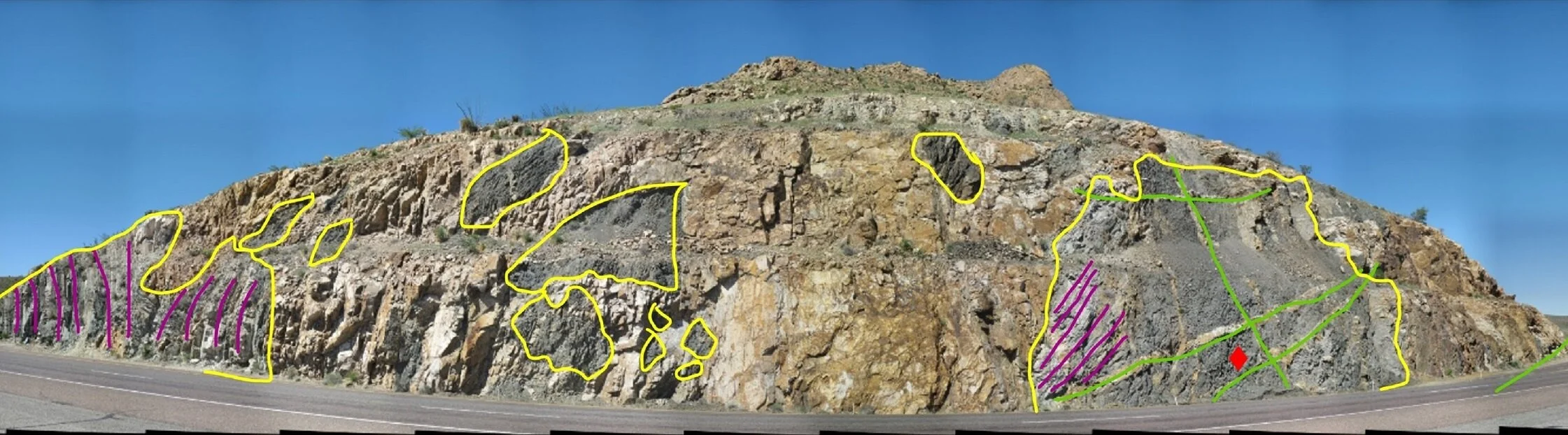
The same gigapan photo of Confusion Hill anotated for geological features. Here is the simplified story: #1 Shallow marine and tidal sediments were deposited in the El Paso region 1.25 Billion years ago. These contain fossil microbial mats and stromatolites (microbial mounds), the oldest fossils in the El Paso region. #2 There was lava (darker rock outlined in yellow) which flowed onto the older sediments and even formed columnar jointing (red diamond). #3 A hundred million years later, a large blob of magma came flowing in and broke up the rocks from Steps #1 and #2. hee and now they are just chunks (outlined in yellow) the are “floating” in the cooled magma, named the Red Bluff Granite. #4 As the granite cooled, it cracked (green lines) and the cracks filled with uncooled magma from deeper below.Confusion Hill
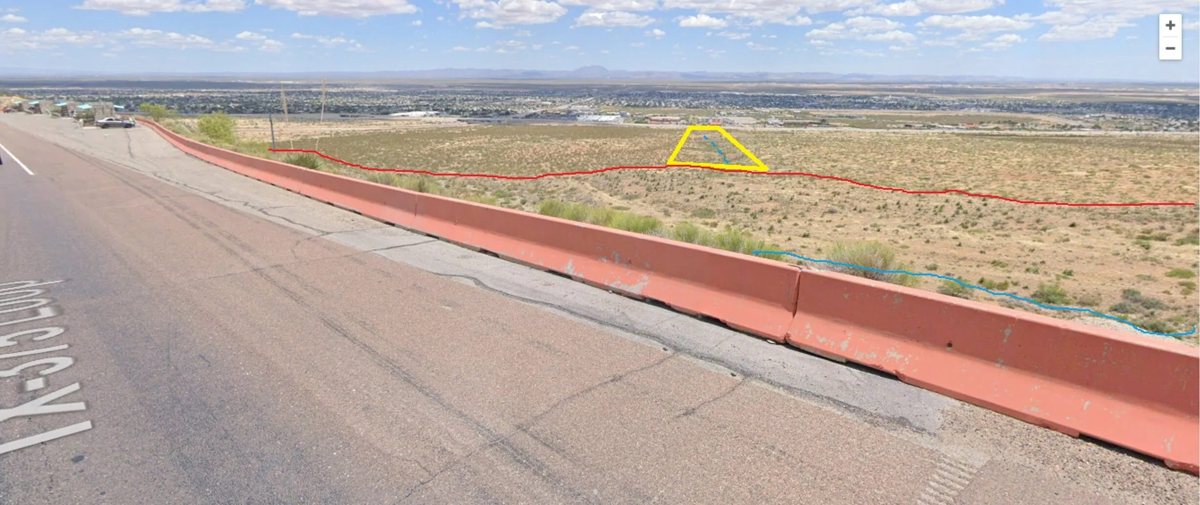
Annotated Google Earth Street View™ screen shot looking east from nearby Transmountain Road east picnic area across from Confusion Hill.
This view shows “stream capture.” Stream capture happens when a fault moves and displaces the ground and a stream is forced to go in a different direction. Outlined in yellow is the old stream valley, with a blue line showing the arroyo. The red line is the Eastern Boundary Fault of the Franklin Mountains which has risen up as a hill now and steered the stream (blue line) to the left towards the Archaeology Museum and Border Patrol Museum.