Some Fossils of Lower Sunset Trail in Tom Mays

Permian Brachiopods

Permian Brachiopods

Permian Fusilinids

Permian Fusilinids

Compare fusilinids with pen.

Compare fusilinids with pen.

Gastropods and brachiopods

Gastropods and brachiopods

Thanks to Judy Ackerman we have these nice photos of fossils that she took along the Lower Sunset Trail in Tom Mays Park. The Lower Sunset crosses the Permian rocks of the Franklins. The Permian Period is the youngest period of the Paleozoic. It dates from 299 to 251 million years ago. At the end of the Permian was the largest extinction event the world has ever seen.

We have often visited the Prehistoric Trackways in the Robledos. The trackways reveal traces of a Permian seacoast.

Castner Heights: Hondo Pass to Diana

It’s not a park trail by any means but a walking trail along Gateway North from Hondo Pass to Diana. I parked behind the Sam’s Club on the Corner of Diana and Gateway North and walked to Hondo Pass. It’s a good path but you can understand why some people might be uncomfortable walking alongside traffic going 60 MPH. Also, there is not enough vegetation to make this a green spot. Since I began at Diana, the view of the mountain was blocked by the incline of the Patriot Freeway.

View of mountains near Diana. You see more of the incline of the freeway and passing vehicles.

View of mountains near Diana. You see more of the incline of the freeway and passing vehicles.

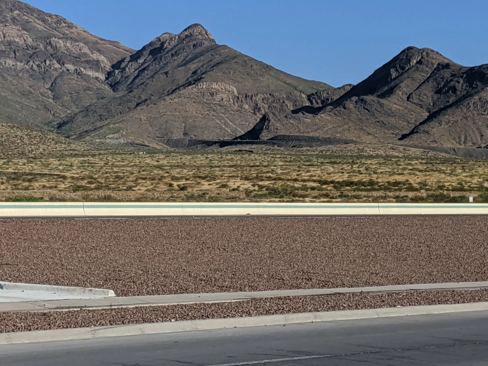
However, most of the walk to Hondo Pass had great views of the mountain especially from the top of Hondo Pass to Transmountain Drive. I love this particular portion of the Franklin Mountains. The shape and swirls remind me of the sensuous paintings of Georgia O’Keefe. A walking tour really should begin closer to Hondo Pass.

Mountain view close to Hondo Pass (2).jpg
Mountain view close to Hondo Pass.jpg
Mountain view at Rutherford Dr..jpg

If the traffic doesn’t bother you, this is a good path to get some outdoors exercise. There were a few people on bicycles and a few on foot like myself. Since it is flat, it is perfect for many who might have cardiac issues but are still able to exercise and seniors.

The other cool things are the stormwater structures along the path.

Stormwater structure.jpg

This path would make a good walking tour with a geologist who can tell you more about the mountains. It would also be great to have a stormwater engineer from the utility who can talk about flood control. I didn’t get a good picture of it, but there is a good view of the retention dam behind U.S. Customs on the other side of the freeway at Hondo.